Understanding Geosteering: The Fundamentals
Introduction
In the ever-evolving world of petroleum engineering, geosteering has emerged as a critical component of successful drilling operations. This technique allows geosteering engineers to make real-time decisions to optimize well placement, ensuring that the borehole remains within the target geological formation. This blog post explores the fundamentals of geosteering, its operational intricacies, and its relevance in contemporary drilling practices.
What is Geosteering?
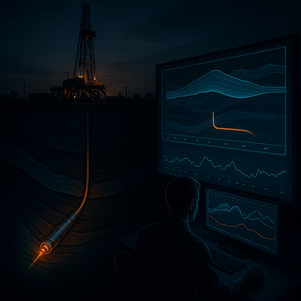
Geosteering is the real-time adjustment of a drilling trajectory based on geological information obtained during the drilling process. By interpreting data from various sensors and formations, geosteering engineers can make informed decisions that enhance wellbore placement. This process is vital for maximizing reservoir contact and minimizing drilling costs.
The Role of Data in Geosteering
Data plays a fundamental role in the geosteering process. Various technologies and methodologies, such as Measurement While Drilling (MWD) and Logging While Drilling (LWD), provide continuous data on formation characteristics. This data is pivotal for understanding the geological formation and making adjustments to the drilling path.
According to the SPE paper "Real-Time Geosteering in 3D Geological Models: Applications and Challenges" (SPE-193561), the integration of 3D geological models with real-time data allows for enhanced decision-making capabilities during drilling, leading to more efficient operations (SPE, 2019).
Technologies Supporting Geosteering
Several technologies support geosteering activities, including:
- MWD and LWD Tools: These tools provide real-time measurements of drilling parameters and formation properties, enabling geosteering engineers to make timely adjustments.
- Geographic Information Systems (GIS): GIS technology assists in visualizing geological data, enhancing the understanding of the subsurface environment.
- Artificial Intelligence (AI): AI applications, such as GeoEngine AI, can analyze vast amounts of data to predict optimal drilling paths based on historical performance and current geological conditions.
The integration of these technologies into geosteering practices is crucial for improving accuracy and reducing operational risks.
Key Challenges in Geosteering
Geosteering is not without its challenges. Engineers often face difficulties in:
- Data Interpretation: The complexity of geological formations can lead to misinterpretation of data, which may result in wellbore placement errors.
- Real-Time Decision Making: The need for rapid decision-making can strain resources and requires skilled personnel to analyze data promptly.
- Integration of Diverse Data Sources: Combining data from multiple sources can be challenging, yet it is essential for an accurate understanding of the geological setting.
A study published in "Advances in Geosteering Techniques" (SPE-202018) outlines strategies for overcoming these challenges, emphasizing the importance of training and the use of integrated software solutions (SPE, 2020).
Practical Application
A geosteering engineer's role comes into play during the drilling phase of a project. Let’s look at a practical example:
While drilling a horizontal well in a shale formation, a geosteering engineer utilizes the GeoSteering Workspace to monitor real-time data from LWD tools. As drilling progresses, the engineer identifies that the wellbore is approaching a fault zone. By analyzing the resistivity and gamma-ray logs, the engineer decides to adjust the angle of the drill bit to maintain the well within the desired reservoir. This adjustment not only helps in avoiding the fault but also enhances reservoir exposure.
Additionally, employing LookAhead technology allows for predictive modeling of the reservoir, enabling the engineer to foresee potential complications before they arise. This proactive approach is essential for maintaining drilling efficiency and reducing costs.
Summary
Geosteering is an indispensable practice in modern drilling operations, allowing engineers to optimize well placement in real-time. Through the integration of advanced technologies and methodologies, geosteering engineers can navigate the complexities of subsurface geology, ensuring that wells remain within productive zones.
To further enhance your geosteering capabilities, consider utilizing tools like DrillTracker and WITSML Integration for streamlined data management and real-time monitoring.
GeoMaster handles this natively — Start your free trial.
References
- SPE-193561: "Real-Time Geosteering in 3D Geological Models: Applications and Challenges" - SPE
- SPE-202018: "Advances in Geosteering Techniques" - SPE
- Energistics Standards Documentation - Energistics