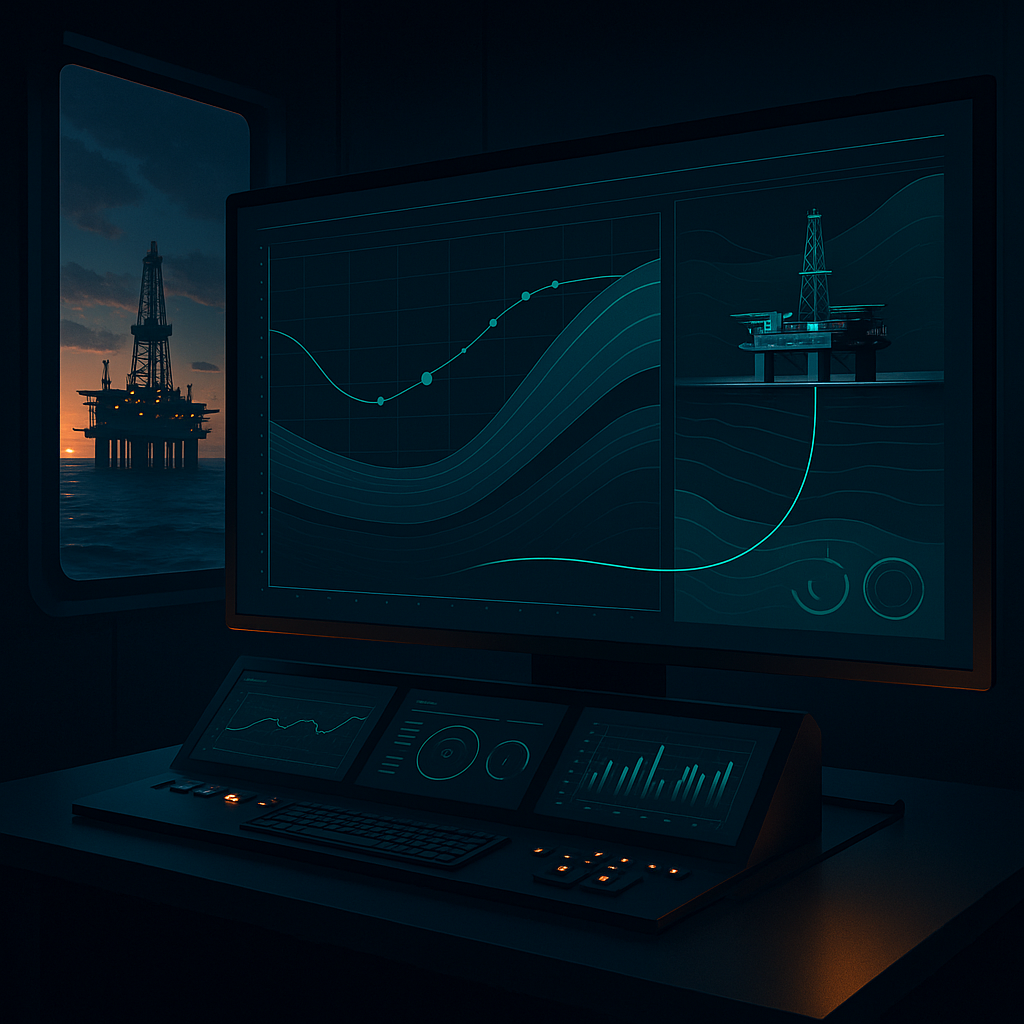
Optimising Geosteering in the UK Offshore Industry
Geosteering has become a critical component in the UK offshore oil and gas industry, allowing for precision drilling in complex geological formations. As reservoirs become increasingly challenging to access, the need for optimising geosteering practices has never been more important. This blog post will explore effective strategies to enhance geosteering processes, utilising advanced technologies and methodologies.
Understanding Geosteering in the Offshore Context
Geosteering, by definition, involves the real-time adjustment of drilling trajectories based on geological data. In the UK offshore sector, where formations can be intricate and unpredictable, geosteering is essential for ensuring wellbore placement within the target zone. According to the Society of Petroleum Engineers (SPE), effective geosteering can significantly reduce drilling costs and improve recovery rates (SPE-192450).
The integration of advanced technologies has transformed traditional geosteering methods. By utilising real-time data analytics and predictive modelling, engineers can make informed decisions that enhance drilling efficiency and safety.
Advanced Technologies for Geosteering Optimisation
Real-Time Data Integration
The ability to integrate real-time data is vital for successful geosteering. Tools like GeoSteering Workspace allow for seamless data flow from drilling operations to geosteering teams. This integration facilitates immediate adjustments to drilling parameters, helping to mitigate risks associated with unexpected geological changes.
Predictive Modelling
Predictive modelling involves the use of historical data to forecast geological conditions. Technologies such as GeoEngine AI employ machine learning algorithms to analyse past drilling performance and predict future outcomes. This capability can greatly enhance the accuracy of geosteering efforts, allowing for more precise wellbore placement.
Look-Ahead Techniques
The implementation of LookAhead technology enables geosteering engineers to visualise potential geological scenarios ahead of the drill bit. By anticipating changes in formation, engineers can proactively adjust drilling trajectories, minimising the risk of encountering problems such as lost circulation or wellbore instability.
WITSML Integration
The adoption of WITSML (Wellsite Information Transfer Standard Markup Language) standards is crucial for data interoperability in geosteering operations. By leveraging WITSML Integration, geosteering teams can ensure that data from various sources is consistently formatted and easily accessible, facilitating better decision-making processes.
Practical Applications of Optimised Geosteering
In practical terms, optimising geosteering processes can lead to significant operational improvements. For instance, during a recent drilling campaign in the North Sea, a geosteering engineer utilised real-time data integration to adjust the drilling trajectory after receiving unexpected seismic data. This adjustment resulted in a 15% increase in the rate of penetration (ROP) and a substantial reduction in non-productive time (NPT).
Another example involves the use of predictive modelling to forecast the behaviour of a highly fractured formation. By analysing historical drilling data, the team was able to preemptively adjust the mud properties, which ultimately reduced the likelihood of stuck pipe incidents.
Summary
Optimising geosteering in the UK offshore industry is paramount for enhancing drilling efficiency and reservoir recovery. By embracing advanced technologies such as real-time data integration, predictive modelling, look-ahead techniques, and WITSML standards, geosteering engineers can make informed decisions that significantly improve operational outcomes.
GeoMaster provides a comprehensive suite of tools designed to support geosteering engineers in these efforts. By utilising the GeoSteering Workspace, DrillTracker, and other features, professionals can streamline their geosteering processes and achieve greater success in the field.
GeoMaster handles this natively — Start your free trial.
References:
- SPE-192450: "Real-time Geosteering: A Case Study in the North Sea" - Society of Petroleum Engineers.
- "WITSML Standard" - Energistics, energistics.org.
- SPE-201950: "Optimising Drilling Performance through Real-Time Data Analytics" - Society of Petroleum Engineers.