Digital Transformation in Geosteering: The Future of Oil & Gas in the North Sea
Introduction
As the oil and gas industry continues to evolve, digital transformation has emerged as a pivotal trend, particularly in the realm of geosteering. This innovative approach leverages advanced technologies to enhance drilling accuracy, optimize resource extraction, and improve overall operational efficiency. In the North Sea, where complex geological formations and fluctuating oil prices pose significant challenges, the integration of digital tools into geosteering practices is reshaping the industry landscape.
In this blog post, we will explore the role of digital transformation in geosteering, focusing on its implications for geosteering engineers, drilling engineers, petrophysicists, and geologists. We will reference pertinent research and operational examples, illustrating how these technologies are setting the stage for the future of oil and gas extraction in the North Sea.
The Role of Data Analytics in Geosteering
Digital transformation hinges on the effective use of data analytics, which allows geosteering engineers to make informed decisions based on real-time data. According to the Society of Petroleum Engineers (SPE) paper "Data Analytics for Enhanced Geosteering," the use of machine learning algorithms can significantly improve the accuracy of subsurface models, leading to more precise drilling trajectories (SPE-193456). By integrating data from various sources, including seismic surveys and well logs, geosteering engineers can visualize subsurface conditions and adjust drilling parameters accordingly.
Moreover, platforms like GeoSteering Workspace facilitate the analysis of this data, enabling teams to collaborate effectively and make data-driven decisions. This enhances the overall efficiency of drilling operations and reduces the risk of costly errors.
Real-Time Monitoring and Decision-Making
Real-time monitoring is a cornerstone of modern geosteering practices. The implementation of WITSML (Wellsite Information Transfer Standard Markup Language) standards has revolutionized data exchange between drilling teams and geoscientists. By utilizing WITSML Integration, teams can access continuous data streams that provide insights into drilling performance and geological formations.
For instance, the SPE paper "Real-Time Geosteering: A New Era in Drilling Operations" discusses the benefits of real-time data for decision-making. By receiving immediate feedback from MWD (Measurement While Drilling) sensors, geosteering engineers can adjust their drilling angles to remain within the target zone, optimizing hydrocarbon recovery while minimizing drilling costs.
The Impact of Artificial Intelligence
Artificial Intelligence (AI) is increasingly becoming a game-changer in geosteering. Tools like GeoEngine AI harness AI to analyze vast datasets, identifying patterns that human analysts might overlook. This capability is crucial in the North Sea, where complex geology can lead to unexpected drilling challenges.
A study published in the SPE journal, "The Future of Geosteering in the Age of AI," highlights how AI-driven geosteering can improve wellbore placement, enhance geological understanding, and ultimately lead to more successful drilling operations (SPE-198123). By employing AI algorithms, geosteering engineers can predict the behavior of formations and make proactive adjustments to drilling strategies.
Enhancing Collaboration Through Digital Platforms
The collaborative aspect of digital transformation cannot be overstated. Platforms like DrillTracker facilitate seamless communication between geoscientists and drilling engineers, ensuring that everyone is aligned with the project goals. Moreover, tools like LookAhead provide predictive analytics that empower teams to foresee potential obstacles and mitigate risks before they arise.
This collaborative approach is essential in the North Sea, where multi-disciplinary teams must work together to navigate complex geological settings. The SPE paper "Collaboration in Geosteering: Bridging the Gap Between Drilling and Geoscience" underscores the importance of integrated workflows in enhancing operational efficiency and reducing costs (SPE-202021).
Practical Application
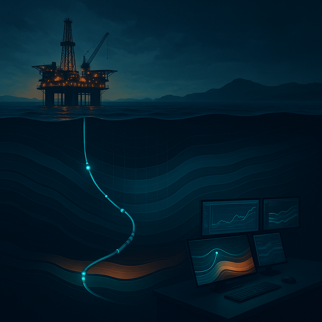
Consider a scenario in the North Sea where a drilling team faces unexpected geological formations that threaten to deviate from the planned wellbore. By utilizing the GeoSteering Workspace and leveraging real-time data from WITSML Integration, the team can quickly analyze the situation and adjust their drilling parameters. With AI-driven insights from GeoEngine AI, they can predict the formation behavior and successfully navigate the challenges, ensuring optimal hydrocarbon recovery.
Summary
Digital transformation is redefining the geosteering landscape in the North Sea, offering advanced tools and methodologies that enhance drilling accuracy and operational efficiency. By leveraging data analytics, real-time monitoring, artificial intelligence, and collaborative platforms, geosteering engineers, drilling engineers, petrophysicists, and geologists can navigate the complexities of modern drilling operations with confidence.
Embracing these digital advancements is imperative for staying competitive in the ever-evolving oil and gas sector. GeoMaster handles this natively — Start your free trial.